
News
Australia Braces for El Niño Phenomenon
The Lucas Group • September 21, 2023
After months of anticipation, The Bureau of Meteorology (BOM) has declared two major climate drivers linked to hot, dry conditions are officially underway in Australia – El Niño and a positive Indian Ocean Dipole (IOD).
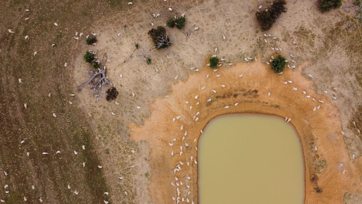
The onset of two major climate events means the remaining months of 2023 in Australia are likely to be hot and dry, particularly in the eastern states.
Dr. Karl Braganza, Climate Manager of the Bureau, highlighted the consequences of these weather phenomena in a BOM media release on Tuesday.
“El Niño and a positive IOD tend to draw the rain away from Australia. The convergence of these two events can lead to below-average rainfall across the continent and elevated temperatures in the southern region during spring,” he explained.
El Niño events and positive IODs are not new to Australia; the country last experienced this in 2015. According to Dr. Braganza, nearly two-thirds of Australia’s driest years were recorded during El Niño episodes. However, he cautions that no two El Niño or IOD events and their subsequent impacts are identical.
Potential Dangers: Heatwaves and Fire Risks
El Niño conditions typically heighten the risk for more extreme temperature shifts, leading to possible heatwaves and overall hotter days. Additionally, the fire danger in south-eastern Australia increases considerably, with the IOD further amplifying the potential fire risk during springtime.
Dr Braganza said; “When [an El Niño and positive Indian Ocean Dipole] occur together, that tends to increase the severity of rainfall deficiencies.”
“Those conditions are accompanied by an increase in fire danger and extremely hot days.”
The announcement from the BOM came as parts of New South Wales were put on alert for “catastrophic” fire danger.
“While [conditions] are different to Black Summer in 2019, where we had years of preceding drought … it is drying out more rapidly than has occurred in recent years, and we are seeing that elevated risk now playing out in eastern NSW,” Dr Braganza said.
Understanding El Niño: A Significant Global Phenomenon
El Niño, a climate pattern affecting 60% of the planet and known to severely impact Australia, is a powerful force.
One of the defining attributes of El Niño is its persistence. The effects on Australia usually last between nine months and a year, with the most intense impacts occurring during the winter and spring months.
El Niño affects climates through the movement of warm waters and clouds from the western Pacific to the central region. This redistribution leads to lower rainfall and higher temperatures in Australia, which can cause droughts, extreme heat, and bushfires.
The El Niño phenomenon leaves a variety of fingerprints on the Australian climate, including:
- Warmer-than-average temperatures across most of southern Australia, particularly in the second half of the year
- Increased number of individual days of extreme heat, as well as increased frost risk under clear skies
- Fewer prolonged warm spells for south coastal areas such as Adelaide and Melbourne
- Reduction in snowfall, and the number of tropical cyclones
- Late onset of the monsoon in northern Australia
In contrast to these effects, the coast of Peru and the southern United States experience opposite impacts during El Niño events.
It’s important to note that El Niño doesn’t guarantee constant dry and warm weather due to other influencing factors.
A Comprehensive Look at the Indian Ocean Dipole
Bureau Senior Climatologist Catherine Ganter said the Indian Ocean Dipole can have as large an influence on Australia’s rainfall and temperature as El Niño. When El Niño coincides with a positive IOD, the two phenomena can reinforce their dry effects, according to BOM.
“Similar to El Niño, the IOD describes a natural climate cycle brought about by sustained changes in the difference between sea surface temperatures in the tropical western and eastern Indian Ocean,” she explained.
A look at the rainfall over winter and spring during past events shows, that unlike El Niño events which mainly impact the eastern states, the IOD’s dry signal dominates South Australia, the Northern Territory, Victoria, Tasmania and parts of Western Australia.
Since records began in 1960, there have been 15 instances of El Niño and 16 positive IOD occurrences, with seven years witnessing both events at the same time.
As we prepare for the El Niño and positive Indian Ocean Dipole (IOD), it is important to focus on developing strategies to counteract their effects. It is crucial to understand the potential impact of these phenomena on climate patterns and to prepare accordingly to mitigate some of the risks they pose.
Get the latest industry updates
Contact Us
Thank you for contacting us.
We will get back to you as soon as possible.
We will get back to you as soon as possible.
Oops, there was an error sending your message.
Please try again later.
Please try again later.